

Disaster risk management often becomes most visible after an event: during response, recovery and rebuilding. But many of the most important decisions need to happen earlier.
Where are communities most exposed before a flood occurs? Which neighbourhoods are most vulnerable during extreme heat? Where could wildfire risk affect homes, infrastructure or long-term planning?
Prevention starts with knowing where risk is concentrated
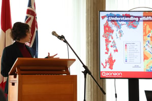
Geoneon CEO Roxane Bandini-Maeder spoke about the importance of mitigating risk before disasters occur, and how prevention complements response and recovery at Climate and Finance in a Turbulent World: COP31 and Beyond at the Embassy of Switzerland in Australia.
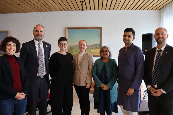
Fig 1: Roxane Bandini-Maeder at the Climate and Finance in a Turbulent World: COP31 and Beyond with Jean-Bernard Carrasco, Ruth Morgan, Her Excellency Barbara Anna Gozenbach, Professor Debjani Bhattacharyya, Aditya Balasubramanian, and Tristan Piguet at the Embassy of Switzerland in Australia.
Her presentation focused on the role that Earth observation, AI and geospatial technology can play in helping organisations understand risk earlier, prioritise action more effectively, and make climate resilience planning more spatially targeted.
Climate-related hazards are not distributed evenly. Flooding, heat and wildfire risk vary sharply across landscapes, cities and communities. The impacts also depend on what is exposed: buildings, infrastructure, people, ecosystems and essential services.
This is where spatial intelligence becomes critical.
Satellite data, AI-derived environmental mapping and geospatial analysis can help translate complex hazard patterns into decision-ready evidence. Instead of only asking where a hazard may occur, organisations can begin to ask where that hazard intersects with exposure and vulnerability, and where action is most urgent.
This shift matters because prevention depends on prioritisation. Resources for adaptation, mitigation and preparedness are rarely unlimited. Better spatial evidence can help governments, agencies, insurers, infrastructure planners and communities decide where to act first.
Turning Earth observation into practical decisions
Roxane shared examples of Geoneon’s work across extreme heat, wildfire and flood risk, showing how Earth observation and AI can support practical decision-making before disaster impacts are felt.
In urban heat analysis, satellite-derived land surface temperature, high-resolution imagery, building data and demographic indicators can help identify where heat exposure, social vulnerability and limited canopy cover overlap. This supports more targeted urban greening, cooling infrastructure and resilience planning.
In wildfire risk, spatial models can help identify where severe fire conditions are more plausible and where buildings sit in higher-exposure landscapes. This creates evidence that can support preparedness, mitigation and longer-term planning.
In flood risk, hydrodynamic modelling can be combined with building footprints, village boundaries and vulnerability data to identify where flood exposure is concentrated and where early warning systems, evacuation planning and preparedness investment may be needed most.
Across these examples, the common thread is not simply better mapping. It is the ability to move from hazard information to practical priorities.
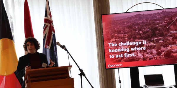 Fig 2: Roxane Bandini-Maeder presenting at the Climate and Finance in a Turbulent World: COP31 and Beyond
Connecting prevention, response and recovery
Prevention does not replace response and recovery. It strengthens them.
Better risk information before an event can support earlier warnings, clearer communication, better shelter and evacuation planning, more targeted investment, and more resilient infrastructure decisions. It can also help communities and decision-makers understand where repeated exposure may require longer-term adaptation, not just short-term response.
For Geoneon, this is where Earth observation, AI and geospatial technology have an important role to play: connecting environmental data with the decisions that shape climate resilience on the ground.
As climate risk becomes more complex, the need is not only for more data. It is for clearer, more usable intelligence that helps people act before disasters occur.